No products in the cart.
Outdoor Adventure
The Ultimate Road Trip Guide to the Blue Ridge Parkway
Roads usually leave me lukewarm. I understand they’re necessary, connecting us from points A to B, and they can be cool, but I don’t stay up late thinking about the adventures to be had on a two-lane blacktop. The exception, of course, is a road trip on the Blue Ridge Parkway. I’ve never driven the entire road, which passes right near my home in Asheville, North Carolina, but over two decades I’ve traveled, hiked, and ridden my bike on most of it.
This 469-mile highway, also known as “America’s Favorite Drive,” is a unit in our National Park System, running north and south, connecting Shenandoah National Park in Virginia and Great Smoky Mountains National Park in North Carolina. I get excited about this particular byway as an avenue of adventure, anchoring some of the best road cycling and hiking in the Southern Appalachian mountains.
I don’t even think of the Blue Ridge Parkway as a road, but a 469-mile-long park.
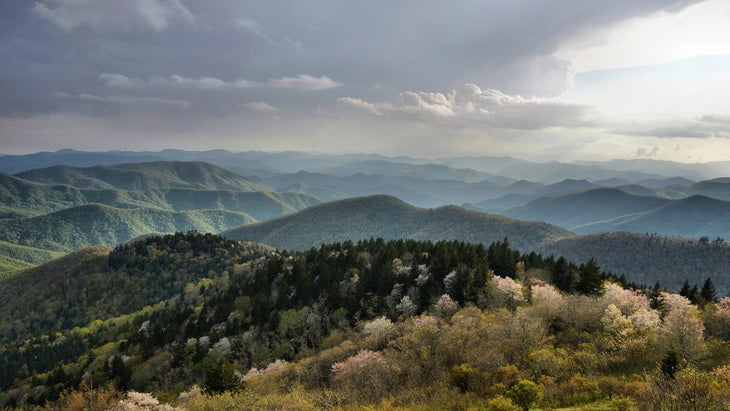
For the most part, the Blue Ridge Parkway (or BRP) is mountainous, hugging the ridge lines of some of the tallest mountain ranges east of the Mississippi, but it also drops down to river valleys and cruises through working farms amid rolling pastures. There are no stop signs or traffic lights on the entire route.
When Was the Blue Ridge Parkway Built?
Construction of the parkway started in 1935, as a Depression-era project meant to create local jobs but also to give the country a drivable destination in and of itself. In the 1930s, motoring around in a car was as much about fun as it was commuting, and the parkway was conceived of for recreation: stringing together scenic overlooks, picnic areas, and parks with hiking trails.
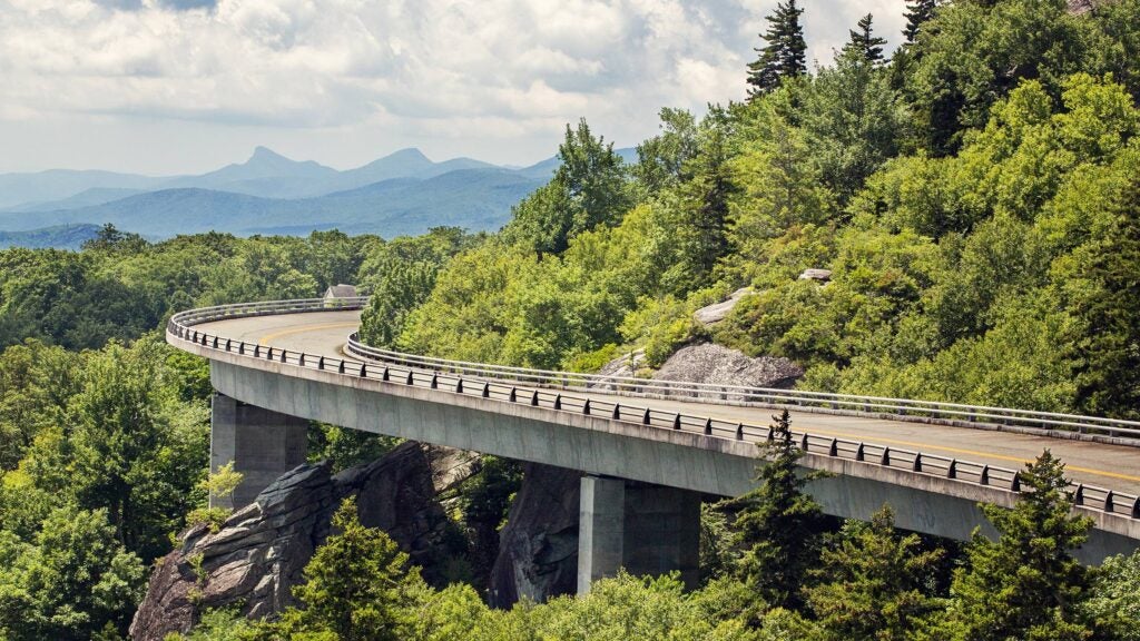
It took 52 years to finish the road, with the last section, the Linn Cove Viaduct, completed in 1987. But the intention is still obvious today, almost 90 years after the first mile of pavement was poured. I get excited about this road not because of the national parks on either end, but what’s along the way.
The Blue Ridge Parkway is a bit of a conundrum. Yes, it connects two well-known national parks, but it’s actually the slowest way to travel between those two points, thanks to low speed limits and near-endless curves. Yes, it’s the most visited unit in the National Park System, welcoming 16.7 million people last year, more than even its southern neighbor, Great Smoky Mountains National Park, which had a huge 13.3 million. Still, many people outside of the Southern Appalachians have never heard of it.
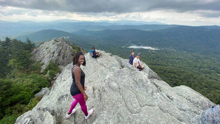
Drive the parkway in the summer, and it’s a roll-your-windows-down-and-cruise experience. Hurrying is counterintuitive to the intent, which was for motorists to meander and enjoy. Here’s a guide to my favorite adventures, from hopping into crystal-clear swimming holes to hiking to cranking out challenging road climbs.
The Best Time to Drive the Blue Ridge Parkway
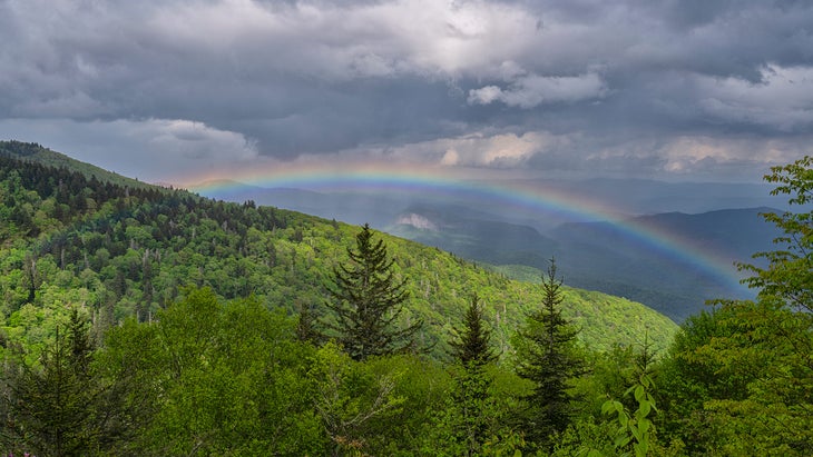
Much of the parkway closes for winter, usually from November until April. Spring is fine if you want to beat the crowds, but the higher elevations can still feel wintry, as the hardwoods are bare until mid May. Summer is beautiful, particularly at the higher elevations, which stay cool even during July and August.
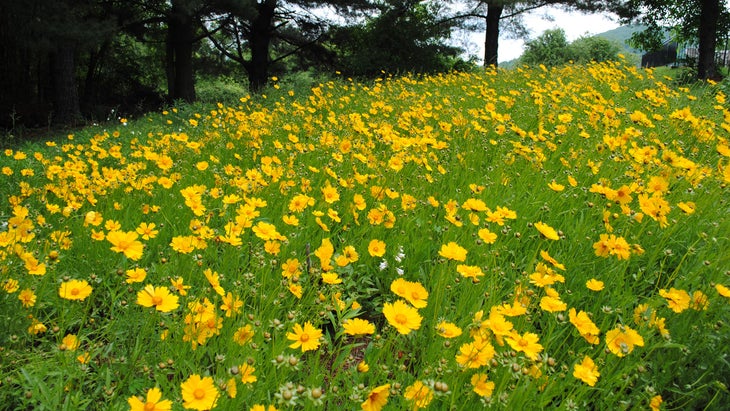
Everyone goes crazy for the rhododendrons, which will bloom pink and white anywhere from May into July, depending on the elevation (the higher the slope, the later it will bloom). You’ll also find meadows of blueberries and blackberries that ripen in June and July, depending on the elevation. Show up in fall, and the entire landscape will be ablaze with the colors of the hardwoods. The foliage lights up early (late September, early October) at the higher peaks like Mount Mitchell.
Road Closures on the Blue Ridge Parkway
Sections of the Blue Ridge Parkway at times shut down for maintenance. During my most recent trip, a portion traversing the Virginia/North Carolina line was closed, requiring an 18-mile detour. Keep an eye on the parkway’s website, which lists all active closures, while planning your trip. But don’t let one or two closures deter you; there’s always roadwork going on here somewhere.
Logistics
The Blue Ridge Parkway has no entry fee, and while it has a beginning and an end, there’s no need for a “thru-drive.” Multiple access points mean you can pick one section to explore, which is how I’ve approached my parkway drives over the years. If you intend to drive the entire 469 miles in one shot, take your time. Give yourself several days, especially to hike, bike, and explore.
How to Explore the Blue Ridge Parkway in Virginia
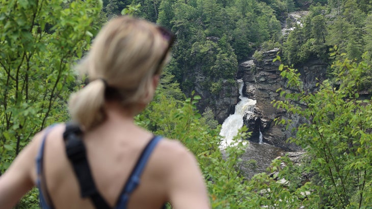
Virginia contains just over 200 miles of the parkway. The road begins in Rockfish Gap, where Skyline Drive in Shenandoah National Park ends. There are some mountainous miles, but in this state the road is mainly pastoral, cruising through small ranches and family farms. With all of the wooden fences and country stores, this part of the road can feel like traveling back in time in the best way.
The Best Hikes Along the Blue Ridge Parkway in Virginia
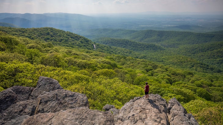
Humpback Rocks (Milepost 6): Just six miles from the northern terminus of the parkway is one of the best short hikes in the state. The two-mile out-and-back Humpback Rocks Trail climbs 740 feet to a protruding rock outcropping with views that take in the southern part of Shenandoah National Park, the mountains of George Washington National Forest, and the farms of the Shenandoah Valley.
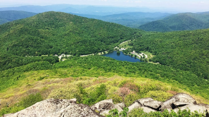
Sharp Top Mountain (Milepost 86): This is a tough 2.8-mile out-and-back on Sharp Top Trail, which climbs 1,300 feet to the craggy peak of Sharp Top Mountain (3,875 feet), with a view of Abbott Lake and the historic Peaks of Otter Lodge below. The summit is a jumble of boulders, but you’ll also see an old, now shuttered, stone restaurant that sold concessions during the 1950s and ‘60s. The ascent is a mix of double track and stone steps, so you might feel like you’re on a Stairmaster. It’s a popular hike, and there’s even a shuttle that could take you most of the way to the top, but you’ll want to do the steps.
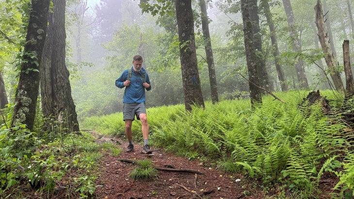
Rock Castle Gorge (Milepost 169): Looking for a challenge? This 10.8-mile loop begins as an easy stroll through meadows interspersed with patches of forest, but quickly drops into a narrow canyon cut by Rock Castle Creek. Early settlers named the gorge “Rock Castle” not because of any notable formations, but for the six-sided crystals they found in the creek, which they thought looked like castle turrets.
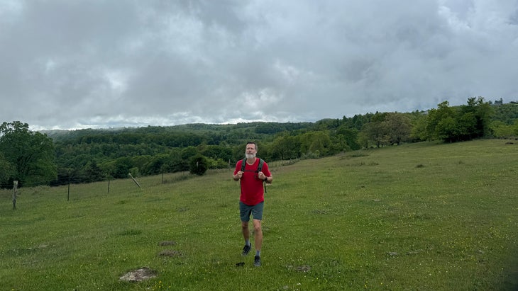
The gorge offers steep walls full of rhododendron and ferns, with a “jungle hike” feel, rising for several hundred feet on either side of the creek. There’s designated backcountry camping roughly halfway through the full hike. My favorite part of the trail is the first two miles, with their broad, grassy pastures. Some of those meadows are still active cattle farms (watch for cow poop), while others are the sites of historic settlements that date back to the 1700s. Native Americans hunted and lived in and around the gorge for thousands of years before that.
The Best Road Rides Along the Blue Ridge Parkway in Virginia
James River to Peaks of Otter (MP 64 to MP 86): Calling all Type 2 Fun cyclists out there; this out-and-back begins on the James River and finishes at Peaks of Otter, respectively the lowest point and one of the highest points on the parkway in Virginia. On it, you’ll tackle the longest sustained climb on the route in the state, gaining 3,500 feet in 12 miles.
You’ll also get copious amounts of views from overlooks, can stretch your legs away from the bike to check out the 200-foot Apple Orchard Falls (it’s a 1.2-mile hike to the falls, so bring a bike lock if you want to go). After grabbing a bite at the Peaks of Otter Lodge’s restaurant, you can turn around and enjoy the descent back to your car.
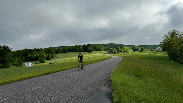
Mabry Mill to Fancy Gap (MP 176 to MP 200): For a mellower road ride, I really like this section, rolling through farms near the border of North Carolina. You’ll enjoy the occasional long-range view, but mostly you’re pedaling through small cattle ranches and family farms with tunnels of hardwoods and rhododendron scattered between the pastures. There are climbs, but they’re short, and the traffic is light.
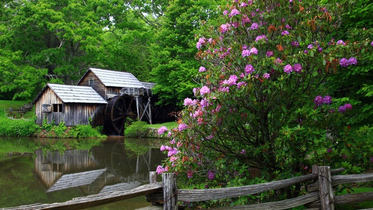
Living off the parkway in Asheville, I regularly strike out to bike or hike different lengths of the road. During a recent midweek morning ride, I saw more deer than cars. And check out Mabry Mill, a restored sawmill and blacksmith shop that history buffs go bananas over as a slice of Appalachian life from the early 1900s.
The Best Gateway Towns in Virginia Along the Blue Ridge Parkway
Access roads will deliver you to many small communities throughout the 200-plus miles of the parkway in Virginia, but the burgs below are my favorites.
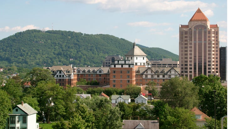
Roanoke: More city than town, Roanoke has almost 100,000 residents, making it the biggest city on this path, with a vibrant beer and food scene. Big Lick Brewing Company has a massive beer garden right in the heart of downtown. Alexander’s is the most lauded restaurant in town, with a constantly rotating menu that leans heavily into seafood, and offerings like lump crab cakes and BBQ shrimp.
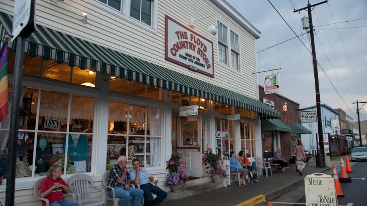
Floyd: This tiny hamlet is the quintessential small farm town, complete with a lively country store, Floyd Country Store, open since 1910. You can grab a snack and even catch live music here on Friday nights. There are also breweries, wineries, and distilleries around. Check out Buffalo Mountain Brewery for traditional German lagers.
How to Explore the Blue Ridge Parkway in North Carolina
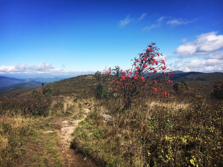
After entering the state, the parkway quickly ascends to the ridge lines, and mostly stays up high all the way until its crescendo at the border of Great Smoky Mountains National Park. The road contours around a series of 5,000- and 6,000-foot peaks, even skirting the 6,683-foot Mount Mitchell—the highest mountain east of the Mississippi. There are so many big views from overlooks, you could almost grow bored of them. Almost.
The Best Hikes Along the Blue Ridge Parkway in North Carolina
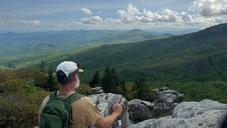
Tanawha Trail (MP 304): The entire Tanawha Trail runs for 13.5 miles along the flank of Grandfather Mountain, essentially paralleling the Blue Ridge Parkway. The path is super technical, thanks to all of the rock steps and boulder hopping, and completing the whole thing would be very worthy, but you may not have time for a 27-mile out-and-back. Instead, focus on the five-mile round-trip slice of this trail that begins at the Linn Cove Viaduct Visitor Center and climbs to Rough Ridge, where a granite outcropping provides 360-degree views that include the parkway below and a sea of green slopes.
One of the coolest views comes just a half-mile after you begin, when you’ll find a well-worn and obvious short side trail that leads to a boulder with an incredible view of the Linn Cove Viaduct, a sinuous bridge that curves around the rocky side of Grandfather Mountain.
Black Mountain Crest Trail (MP 355.4 ): Mount Mitchell State Park contains the tallest mountain on the East Coast. Standing on top of Mitchell is a must, and you can drive within 100 yards of the summit but would share that view with dozens of other people. Sure, do it (the Mount Mitchell Summit Trail is .2 miles long) and get the picture, but here is another option.
Begin at the trailhead for the 11.5-mile Black Mountain Crest Trail, which traces the crest of the Black Mountain Range, heading south from the Mount Mitchell summit parking lot, for the chance to bag a series of 6,000-foot mountains in one walk. This three-mile out-and-back from Mitchell on the Black Mountain Crest will take you across two more 6,000 footers, Big Tom and Mount Craig.
Graveyard Fields (MP 418.8): Give the giant views a break with this three-mile lollipop loop that takes in three waterfalls and a meadow with excellent blueberry picking in July. The highlight of the hike is the swimming hole at the base of Second Falls along the Yellowstone Prong River, but I always get a kick out of the section through the high-elevation meadow.

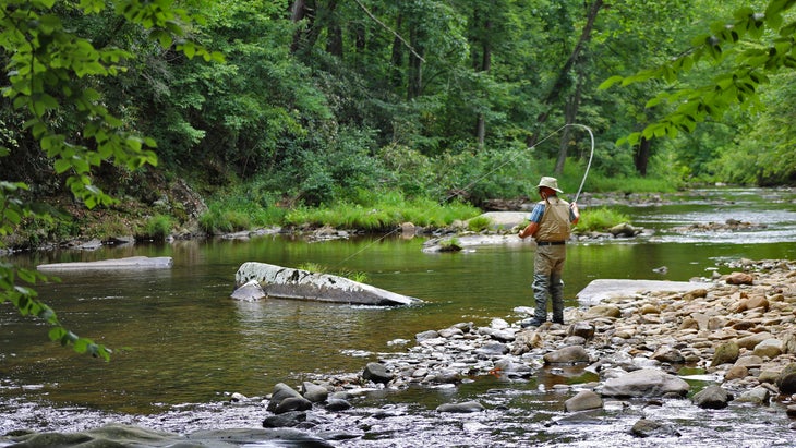
The trailhead parking lot may be crowded, but you’ll find solitude if you head up to Upper Falls, which most people skip, since Second Falls is much closer to the trailhead. You might want to bring your fly rod: on the way to Upper Falls are lonely stretches of the Yellowstone that house brook trout.
The Best Road Rides Along the Blue Ridge Parkway in North Carolina
Craggy Gardens to Mount Mitchell (MP 364): Pedaling your bike up 6,683-foot Mount Mitchell is an accomplishment any cyclist cherishes. I try to knock it out once a year, starting from my home in Asheville. That’s a 68-mile day with 7,000 feet of climbing, but you can also decrease your mileage significantly and still hit the highlights if you begin at Craggy Gardens Visitor Center and pedal north towards Mitchell.
The entire route is above 5,000 feet in elevation, and the overlooks on this 28-mile out-and-back are outstanding, giving you views of seasonal waterfalls and distant ridges while gaining a total of 3,500 feet. The real push comes at the end as you peel off the parkway and leg it up the five miles of Highway 128 to the summit of Mitchell.
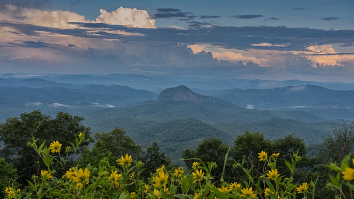
Pisgah Inn to Black Balsam (MP 408): Another high-elevation romp that barely dips below 5,000 feet, this 26-mile out-and-back delivers some of the best views along the entire parkway. My favorite is the Looking Glass Rock Overlook at MP 417, with the 500-foot granite face of the nearly 4,000-foot mountain popping out of the lush forest below. This ride climbs more than 3,000 feet, so it’s no joke, but save some energy to hike the mile-and-a-half round trip on Black Balsam, which comes at the end of the road climb, leading to a grassy mountaintop with views that stretch for 100 miles. It’s a great way to break up the road ride.
The Best Gateway Towns in North Carolina Along the Blue Ridge Parkway
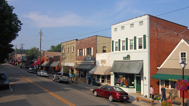
Blowing Rock: Nestled between MP 291 and MP 294, Blowing Rock is an upscale resort town known for its food and quick access to the outdoors. Main Street is packed with boutiques and restaurants, while wellness resorts dot the surrounding landscape. Grab a wood-fired pizza at Bistro Roca, and meander over to Blowing Rock Ale House for a beer.
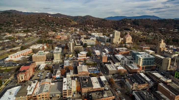
Asheville: The parkway curves around Asheville, giving motorists quick access to one of the South’s most beloved communities. The beer scene is off the charts here (Burial Beer is my personal hometown favorite), and spend some time walking around downtown and see the various murals painted by Native Americans as part of the Indigenous Walls Project. If you’re feeling sore from all the hiking and cycling you’ve been doing, pop into Sauna House for a sauna/cold plunge pairing.

Where to Stay Along the Blue Ridge Parkway
You can drop off the parkway into adjacent towns the whole way, but two lodges and eight established campgrounds are located directly on the road.
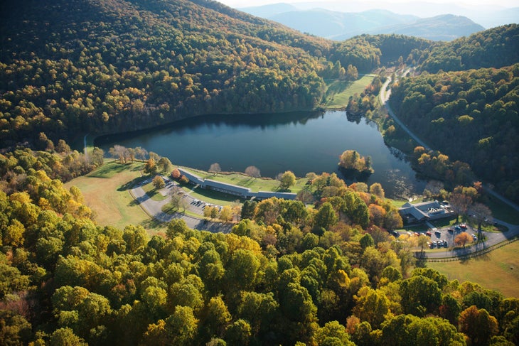
Peaks of Otter Lodge (MP 86): Sitting on the edge of Abbott Lake in Virginia, the Peaks of Otter Lodge offers quick access to miles of hiking trails (see Sharp Top Trail, above) and a good restaurant that serves three hot meals a day. Rates start at $138, and every room has a view of the lake.
Pisgah Inn: The Pisgah Inn offers a ridge-top experience, sitting on the edge of the parkway above 5,000 feet with views of Pisgah National Forest from its observation deck. Rates start at $250 a night, and reservations can be hard to get, so try to book six months in advance. Even if you don’t snag a room at the Pisgah Inn, try to have a meal at the restaurant, where most tables have amazing views.
Otter Creek Campground (MP 60): Sitting at the lowest elevation on the Parkway, Otter Creek Campground gives you the chance to enjoy a lush valley floor complete with a babbling creek running between sites. There are 39 sites you can reserve six months in advance, and 29 spots available first-come, first-served ($20 a night).
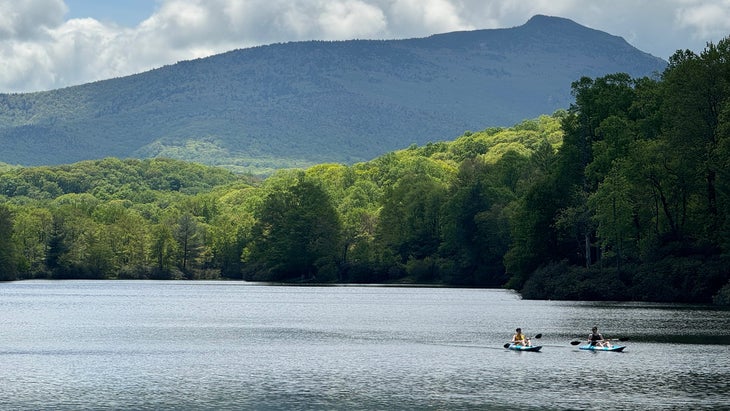
Julian Price Campground (MP 297.1): You can’t go wrong with any campground on the parkway, but I like Julian Price because it sits on the shores of Julian Price Lake, where you can rent a canoe or kayak and paddle the calm waters, which are surrounded by forested slopes. It’s a large campground, with 115 sites available to reserve six months in advance, while 75 more are first-come, first-served ($20 a night).
Cycling Safety on the Blue Ridge Parkway
See also: “Blue Ridge Parkway Road Trip From Shenandoah to Great Smoky,” from Outside’s sister brand National Park Trips. In addition to eight websites, each dedicated to a national park, National Park Trips publishes four magazines a year, providing expert travel service. National Park Trips also provide free trip planners for many parks. See the Great Smoky Mountains National Park trip planner here.
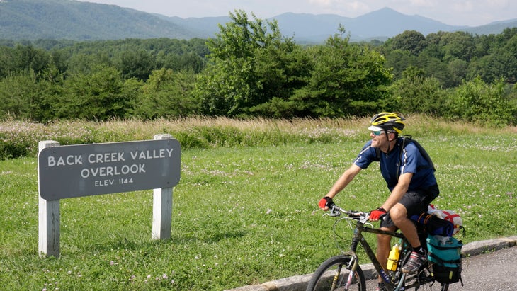
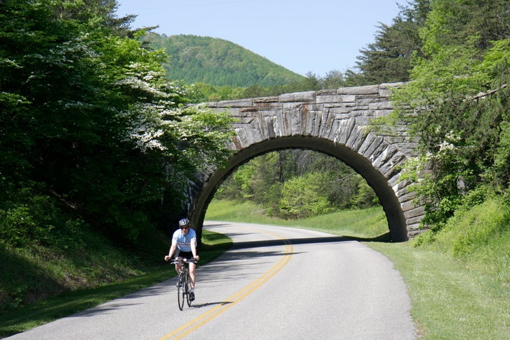
The Blue Ridge Parkway is a bucket-list destination for road cyclists, and many of us dream about taking a week and riding the entire length. Mile for mile, the scenery can’t be beat, and while the road is full of elevation changes, no climb exceeds an eight-percent grade, which makes the ride challenging but not dire.
You will share the road with vehicles. There’s also no shoulder, which can be intimidating for some cyclists. But generally, the parkway is one of the safer bike routes in the Southern Appalachians. The speed limit is 45 miles per hour or lower, and drivers are accustomed to sharing the road with cyclists.
Still, ride with caution. Try not to pedal alone, make sure to have a tail light and headlight, and avoid earbuds, so you can hear traffic approaching.
Graham Averill is Outside magazine’s national-parks columnist. He spends a lot of time on the Blue Ridge Parkway, usually on his road bike, sweating uphill.
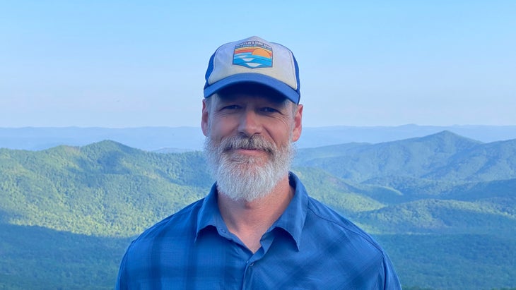
For more by Graham Averill, see:
Boating Turns Me Green. But I Couldn’t Miss a Chance to See the Channel Islands.
Source link

